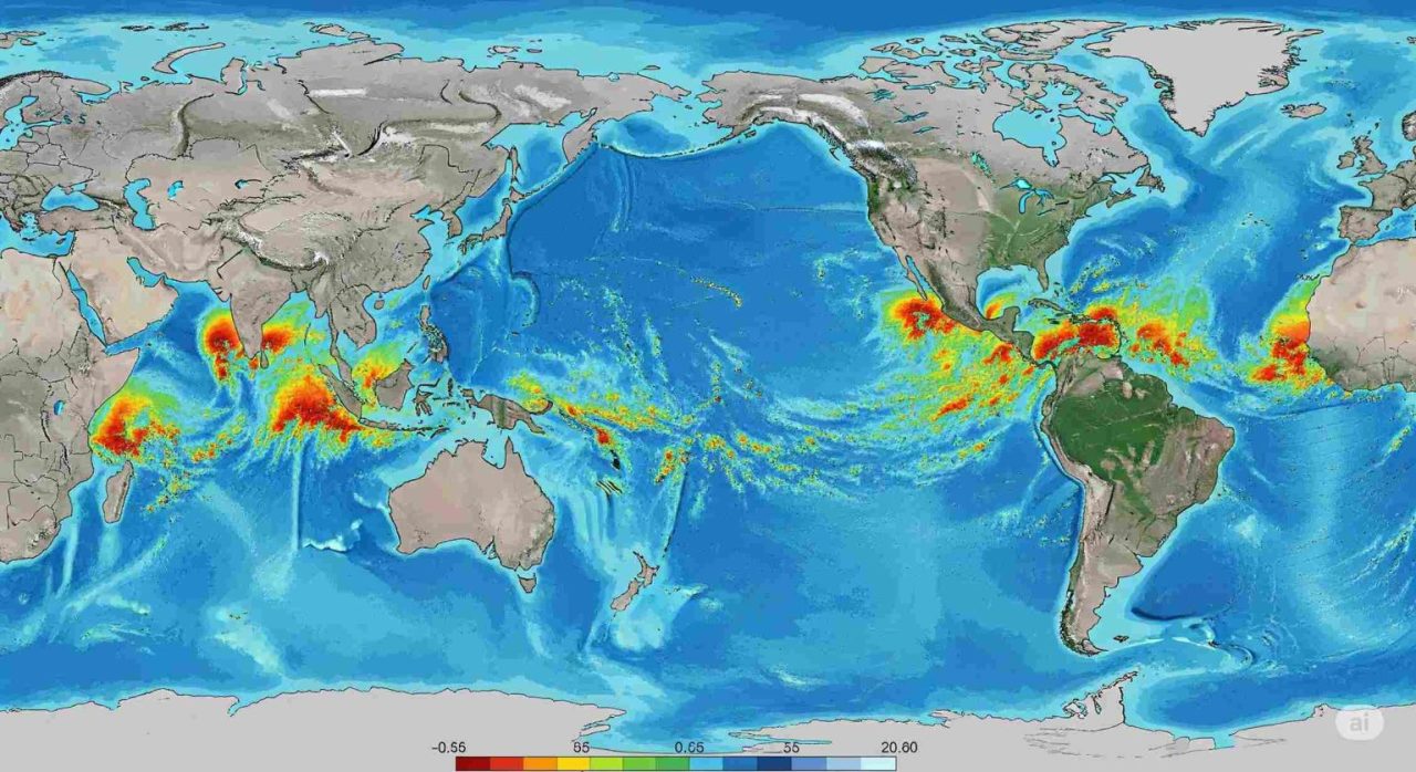
A new high-resolution model shows how a 1-degree temperature rise will hit different regions unevenly, from Arctic ice loss to extreme rain in the tropics

Not all regions of the world will respond equally to a 1-degree temperature rise. The reason lies in the Earth’s varied climate response to rising greenhouse gas emissions, which occurs at different spatial scales, as shown by an international group of researchers.
The effects of global warming are far from uniform. Some areas, like the Arctic or the peaks of high mountain ranges, are heating up much faster than the global average. Others, such as certain tropical ocean zones, are warming more slowly. Rainfall patterns are even more inconsistent.
Toward more accurate climate forecasts
Climate models use varying spatial resolutions to simulate Earth’s climate. The models used in reports by the Intergovernmental Panel on Climate Change typically operate at 100 to 200 kilometers resolution. This is too coarse to capture regional or local climate changes, which are essential for policymakers developing climate adaptation strategies.
To meet this need, a team of scientists has pushed climate modeling forward. Their work provides new insights into the planet’s future climate and its variability. The research was published in the journal Earth System Dynamics.
Regional impact of a 1-degree temperature rise
The researchers developed models with a 9-kilometer resolution for the atmosphere and 4 to 25 kilometers for the ocean. These high-resolution simulations offer a much more accurate picture of future climate conditions, helping policymakers and planners design better responses to global warming.
“It’s important to remember that, spatially, global warming is quite heterogeneous,” said Moon Ja-Yeon, the study’s lead author. “For a 1.5-degree temperature rise globally, Arctic regions of Siberia and Canada may warm by nearly 2 degrees, while the Arctic Ocean could see warming up to 5 degrees. In high mountain regions like the Himalayas, Andes, and Hindu Kush, the model simulates a warming rate 45% to 60% higher than the global average.”
To ensure public access to these projections, the scientists launched an interactive data platform that allows users to explore both regional and global climate forecasts. The data can also be downloaded and viewed in Google Earth, offering vital information for the future planning of wind and solar farms.
Implications for storms and extreme rainfall
The research also sheds light on storm behavior, with simulations at under 10 kilometers resolution. According to the models, the amplitude of both the Madden-Julian Oscillation and El Niño–La Niña events will increase in the future. This will intensify precipitation impacts in affected regions.
The simulations indicate a growing frequency and intensity of extreme rainfall events (over 50 mm per day) in several areas: East Asia, the Himalayas, the Andes, the Amazon, African mountain chains, and the eastern U.S. coast. The consequences will be serious, including flooding, coastal erosion, and landslides.


