A fragile river system at the heart of Asia’s growing tensions
Beijing has officially launched construction on a massive hydroelectric dam in Tibet, along the Yarlung Tsangpo River. The project, long in the planning stages and heavily criticized, is expected to become the world’s most powerful hydroelectric facility once completed.
However, the announcement has reignited fears in neighboring countries over its potential environmental and geopolitical consequences. India and Bangladesh, in particular, have voiced strong concerns about the threat to their water security. Critics argue that China could exploit the river’s resources to the detriment of downstream nations by draining the Brahmaputra, the name used for the Yarlung Tsangpo in Indian territory.
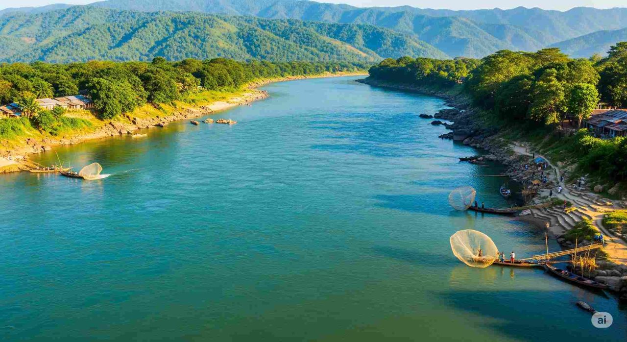
The Yarlung Tsangpo originates in the Tibetan Plateau, a region often referred to as the world’s third pole due to its vast glacier reserves, second only to the Arctic and Antarctic. From this plateau, several major rivers flow through South and Southeast Asia, supporting the livelihoods of over one billion people.
India and Bangladesh warn of risks from China’s new dam
China has released little technical information about the project, fueling anxiety in India and Bangladesh. Both countries rely on the Brahmaputra for irrigation, hydropower, and drinking water. Earlier this year, the chief minister of Arunachal Pradesh, the Indian state bordering China, warned that the dam could drain up to 80% of the river’s flow in Indian territory, potentially flooding downstream areas such as Assam.
Tensions are also heightened by long-standing border disputes. Beijing claims Arunachal Pradesh as part of southern Tibet, while New Delhi insists it is integral to Indian territory. The Chinese megaproject has reportedly pushed India to accelerate its own hydroelectric plans on the Brahmaputra in Arunachal Pradesh, aiming to assert control over its water resources. China, for its part, has expressed opposition to India’s infrastructure ambitions in the region.
Still, some experts believe the dam’s impact on downstream water flows may be exaggerated. According to Sayanangshu Modak, a researcher on Sino-Indian water relations at the University of Arizona, most of the Brahmaputra’s water comes from monsoon rains south of the Himalayas, not from China.
Modak also explained that the Chinese dam is a “run-of-river” hydroelectric project, meaning it is designed to generate power without significantly altering the river’s flow. India, too, has proposed two major dams on the Siang River, another name for the Yarlung Zangbo. One of them, a planned 11.5-gigawatt facility in Arunachal Pradesh, would be the largest in India. According to Modak, the proposals may also serve a strategic purpose, bolstering India’s diplomatic leverage in case China attempts to divert the river’s flow.
Seismic and environmental concerns
Another source of concern is the dam’s location in a highly seismic zone. The proposed construction site sits along the tectonic boundary between the Indian and Eurasian plates, an area prone to earthquakes, landslides, and floods. Experts warn that altering the natural balance in such a fragile environment could increase the likelihood of geological disasters.